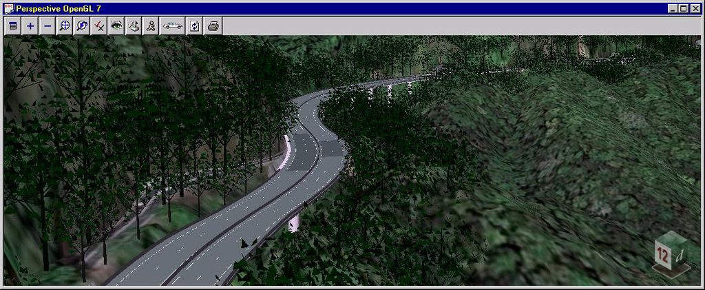
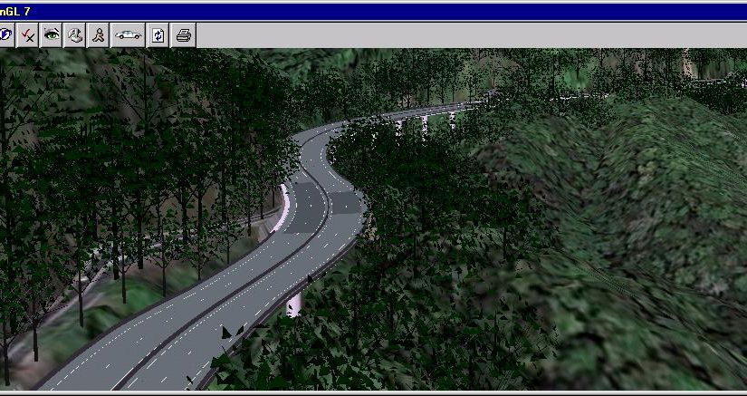

The Department of Transport and Main Roads, Queensland, undertook the preliminary design for approximately 12 kilometres of the Kennedy Highway in Queensland, Australia. The highway travels west from Cairns through Kuranda and on to Mareeba, connecting the coast with the tablelands. The project crosses the Macalister Range and passes through the Wet Tropics World Heritage Area, creating a challenging environment in which to develop and communicate the proposed upgrade.
A key part of the project was developing a realistic representation of both the existing environment and the proposed highway, allowing the design team to visualise the project before construction.
Building the Existing Environment
The existing terrain was constructed from airborne LiDAR data collected by helicopter, providing the foundation for modelling the project area. Aerial photography was then draped over the resulting triangulation to create a realistic representation of the existing landscape.
This provided a detailed terrain and visual context in which the proposed highway could be developed and assessed.
Developing the Highway Design in 12d Model
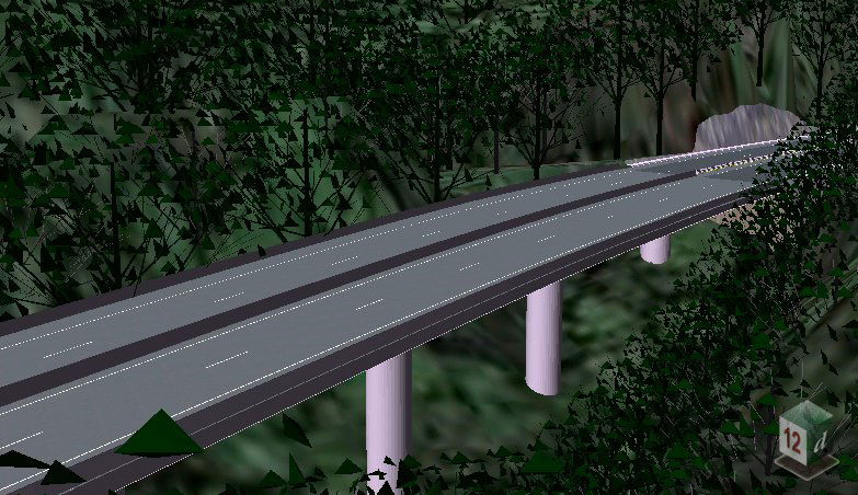
The concept design for the new highway was developed using 12d Model, incorporating not only the road design but also key infrastructure and environmental features.
The first half of the project included 28 of the 34 bridges, which were modelled using super strings. Roadside barriers and vegetation were also modelled in 12d Model, creating a more complete representation of the proposed highway and its surroundings.
By bringing these elements together with the existing terrain and aerial imagery, the team could assess the proposed infrastructure within its wider landscape context.
Creating a Virtual Fly-Through
The project team used the 12d Model environment to create virtual fly-overs, drive-throughs and selected views of the proposed highway.
These visualisations provided an opportunity to view the proposed route from different perspectives and understand how the highway, bridges and other infrastructure would appear within the surrounding terrain. The drive-through for the final section of the highway was also subsequently completed with the aid of 12d Model.
Visualising the Project Before Construction
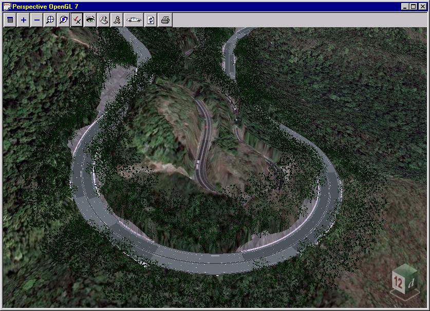
The completed model provided a realistic representation of how the upgraded highway and surrounding area could look following construction and regrowth.
Being able to virtually drive along and fly over the proposed highway before it was built gave the project team a practical way to communicate and review the preliminary design. It also helped provide a clearer understanding of how the proposed road and structures would integrate with the existing landscape.
The Kennedy Highway project demonstrates how 12d Model can combine survey data, terrain modelling, civil design and 3D visualisation to provide a more complete understanding of a proposed infrastructure project before construction begins.
Download this Case Study as a PDF HERE