Producing road and rail plans requires clear, well-organised annotation without compromising the visibility of other design information.
This video demonstrates the Super Alignment Style Output – Explode and Process Labels tool in 12d Model, which converts Super Alignment labels and symbols into individually named output models for more flexible plan presentation.
Key capabilities include:
Individual output models for each Super Alignment string.
Configurable label formatting, including trailing-zero trimming and start-of-alignment display options.
Flexible annotation placement to improve drawing clarity and minimise conflicts with other design elements.
Structured text and symbol naming to support downstream drafting and layer mapping in AutoCAD workflows.
For engineers and design teams preparing road and rail documentation, this provides greater control over annotation and the final presentation of design drawings.gineering
The Department of Transport and Main Roads, Queensland, undertook the preliminary design for approximately 12 kilometres of the Kennedy Highway in Queensland, Australia. The highway travels west from Cairns through Kuranda and on to Mareeba, connecting the coast with the tablelands. The project crosses the Macalister Range and passes through the Wet Tropics World Heritage Area, creating a challenging environment in which to develop and communicate the proposed upgrade.
A key part of the project was developing a realistic representation of both the existing environment and the proposed highway, allowing the design team to visualise the project before construction.
Building the Existing Environment
The existing terrain was constructed from airborne LiDAR data collected by helicopter, providing the foundation for modelling the project area. Aerial photography was then draped over the resulting triangulation to create a realistic representation of the existing landscape.
This provided a detailed terrain and visual context in which the proposed highway could be developed and assessed.
Developing the Highway Design in 12d Model
The concept design for the new highway was developed using 12d Model, incorporating not only the road design but also key infrastructure and environmental features.
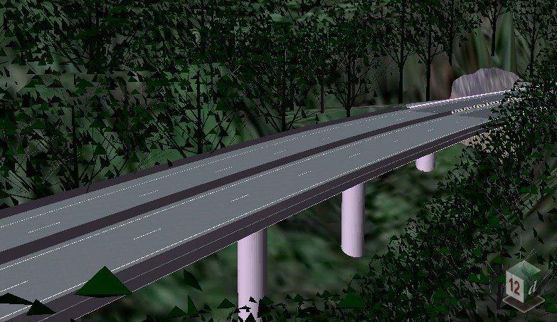
The first half of the project included 28 of the 34 bridges, which were modelled using super strings. Roadside barriers and vegetation were also modelled in 12d Model, creating a more complete representation of the proposed highway and its surroundings.
By bringing these elements together with the existing terrain and aerial imagery, the team could assess the proposed infrastructure within its wider landscape context.
Creating a Virtual Fly-Through
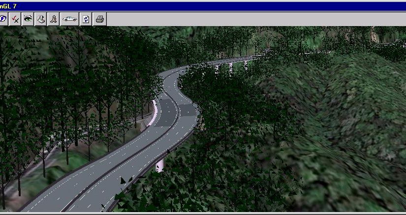
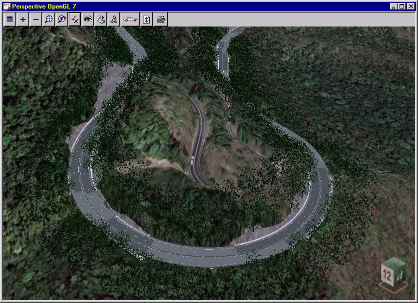
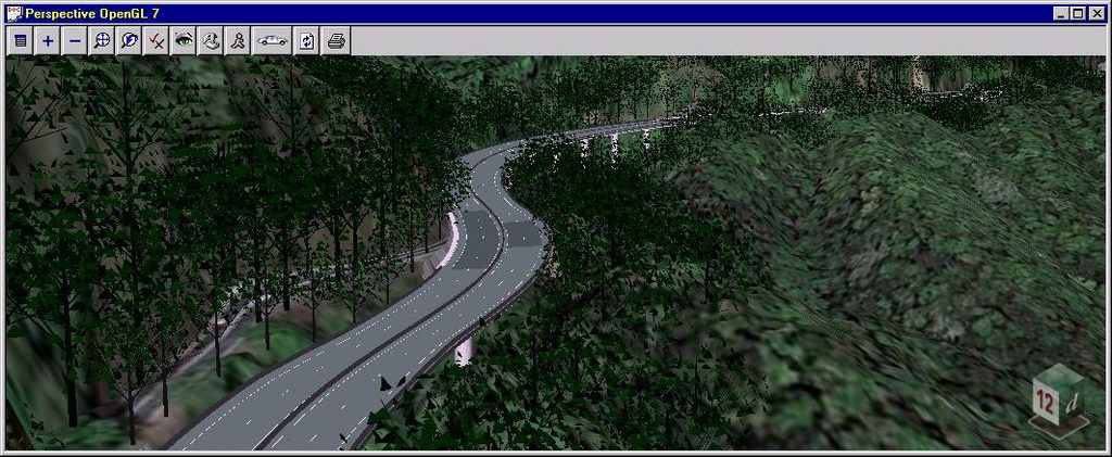
The project team used the 12d Model environment to create virtual fly-overs, drive-throughs and selected views of the proposed highway.
These visualisations provided an opportunity to view the proposed route from different perspectives and understand how the highway, bridges and other infrastructure would appear within the surrounding terrain. The drive-through for the final section of the highway was also subsequently completed with the aid of 12d Model.
Visualising the Project Before Construction
The completed model provided a realistic representation of how the upgraded highway and surrounding area could look following construction and regrowth.
Being able to virtually drive along and fly over the proposed highway before it was built gave the project team a practical way to communicate and review the preliminary design. It also helped provide a clearer understanding of how the proposed road and structures would integrate with the existing landscape.
The Kennedy Highway project demonstrates how 12d Model can combine survey data, terrain modelling, civil design and 3D visualisation to provide a more complete understanding of a proposed infrastructure project before construction begins.
WSP in Victoria, Australia (https://www.wsp.com/en-AU) has been involved in a number of infrastructure projects, working alongside various clients and contractors, including David Rotton, to deliver coordinated engineering solutions.
Parsons Brinckerhoff has been involved in a number of large-scale, high-profile projects covering the design of roads, drainage, sewer, water, and other associated infrastructure, as well as bulk earthwork modelling. Their project teams used 12d Model software to address a range of complex and non-standard challenges, often requiring innovative and customised solutions. Given the scale and nature of these projects, they also needed to collaborate closely with multiple consulting engineering companies, which meant their chosen software had to interact seamlessly with different design platforms used across project teams.
A key requirement was the ability to check clearance and identify potential clashes between services designed in 12d Model and those produced in other software packages. However, limitations in compatibility between import and export formats across platforms meant that alternative methods had to be developed to enable reliable data exchange between systems. This was particularly important for transferring three-dimensional pipeline data elements across drainage, sewer, water, and related services. In addition, the team explored new applications of 12d Model by successfully modelling complex electrical and chemical box culvert systems, which had not previously been attempted.
To address these challenges, detailed working procedures were developed, including step-by-step guides to support consistent data transfer across project teams. These processes enabled 12d Model to export data in .csv format in a structure that could be read by other software, as well as import .csv data generated externally back into the model environment. A custom macro was created to extract three-dimensional pipe data from 12d Model and export it into .csv files for use in other platforms. Electrical and chemical box culverts were modelled using an adapted approach based on drainage strings, with the Drainage Network Editor used to define culvert height and width. The Drainage Plan Plot function, supported by a modified plot parameter file, was then used to represent the culverts with accurate internal geometry, enabling effective service clash detection directly within 12d Model.
Through the use of 12d Model software and these tailored workflows, the team was able to overcome a range of complex and non-standard design challenges across very large projects. This approach also supported effective collaboration with multiple consulting engineering companies, ensuring smooth interaction between 12d Model and the various design software platforms used across project stakeholders.