
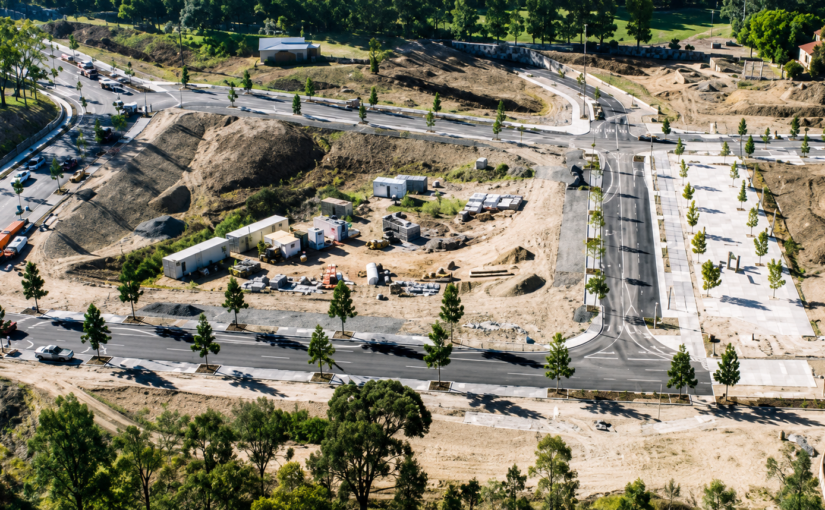

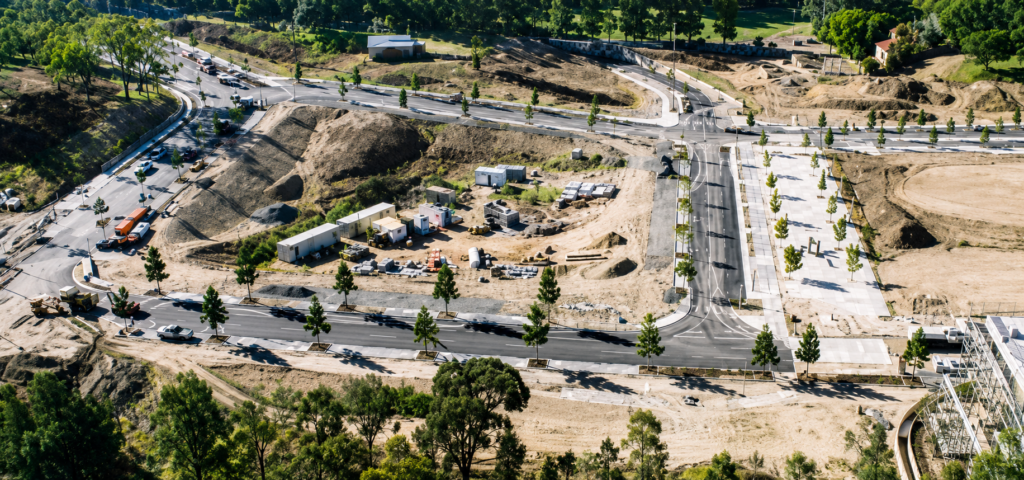
This project for the Queensland Government in Queensland, Australia, was delivered with Connell Wagner (now Aurecon) as the consultant and John Martin as the contractor.
In the words of (then) Queensland Premier Peter Beattie, the development of a new integrated community – Brisbane’s Kelvin Grove Urban Village – is “a vision for the future.” Connell Wagner has been an integral part of this vision.
Much of the Village is situated on the former Gona Barracks site and surrounding areas. The Gona Barracks site was originally owned by the Department of Defence (DoD), while the remaining area was jointly owned by Queensland University of Technology (QUT) and the Queensland Government, Department of Housing (DoH).
The DoH and QUT are now redeveloping the entire site as a mixed-use and residential precinct, incorporating retail, commercial, and university functions and accommodation, including projects such as QUT’s Creative Industries. The project is the first of its type and is designed to help integrate the university back into the community, supporting QUT’s philosophy of “A university for the real world.”
The construction of the Village was designed to minimise environmental impact while preserving important cultural aspects of the site. As Principal Consultant for the infrastructure delivery, Connell Wagner also faced a number of design challenges, including heritage areas such as trees, buildings, and open spaces on the upper parade ground that had to be preserved.
During the early planning phase, the project team consulted with both the Turrbal Association and the Heritage Council, resulting in a Cultural Heritage Management Plan. The project aimed to create “a vibrant, new urban environment that meets the lifestyle needs of the community, but does not compromise the environment for future generations”¹, in keeping with the principles and practices of Ecological Sustainable Development (ESD).
Designer John Martin said, “The original site was extremely undulating with extensive existing infrastructure and contaminated material on the site, which had to be remediated by either removal or controlled burial on site.”
“One aim of the project was to make the streets as friendly as possible for disabled access, bicycles, etc – all the sorts of things you find in a new urban environment and at a university. The grading of the roads and the blocks has been critical in terms of the outcomes that were required for the project.”
The project involved significant rework and numerous design options. According to Mr Martin, “The fact that we were able to turn around the options extremely quickly with 12d Model, often ‘on the fly’, was great. I’d sit at the computer with the landscape architect, the engineer on the job, the council planning officers, and the client, and shift things around on the screen so they’d be able to immediately see what was going on. It was simple!”
“Because of the nature of the site, we were repeatedly calculating cuts and fills. We also built a park, one of several, through the site, now called Kulgun Park. Going just from looking at plans and long-sections and such, it’s quite hard to visualise what was happening. The fact that we were able to produce a quick perspective of what the finished site was actually going to look like was extremely beneficial. Without 12d Model, we would have had a lot of trouble putting together something to show the layperson how the finished product would look at completion.”
According to Principal Project Engineer Mark Reardon, “One issue (of many) that the project had to resolve was the integration of the new stormwater system into the existing stormwater network. Because of the staging of the project, we had to plan progressive links between the new and the old systems. Being able to hold all that information in the model was a great advantage. We serviced all the other design teams that were on the job with long-sections, cross-sections, and contours and were able to do this very quickly.”
“Another issue was remediation. The identified contaminated areas were logged, and we then created a number of different layers to show where the contaminated areas were in both plan and sectional view. We used these sectional views to display what was going to happen in the future and how deep under the finished surface the contaminated material would be.
“We had to prove this to the Department of Defence as part of a sales agreement. Additionally, we had to show where residential areas, in particular the building footprints, would be in relation to remediated areas to settle an argument they had in terms of getting the site removed from the Environment Protection Agency’s EMR (Environmental Management Register). 12d Model was invaluable for this.”
“Brisbane City Council was also very happy with our procedure of using 12d Model to demonstrate the finished surface. In fact, that was one of the reasons we got the approval. Their two major concerns were predicting the appearance of the finished product and ensuring public safety in the future. Because we could get down on a visual plane and give relative heights, we could illustrate these aspects with confidence and alleviate concerns.”
“Overall, everyone was pleased with the project outcome. It’s currently being constructed and we’re almost out of the ground now.”
The project was scheduled for completion in August 2003, with QUT’s Creative Industries Project due to open its doors for students at the start of the 2004 academic year.
¹ Quotation from The Urban Village brochure pack by the Queensland Government Department of Housing and Queensland University of Technology.
Download this Case Study as a PDF HERE

![[Image credit: Clker-Free-Vector-Images]](https://blog.12d.com/wp-content/uploads/2026/05/Picture1-1024x515.png)