
History Files: 12d ideal for Northala Fields

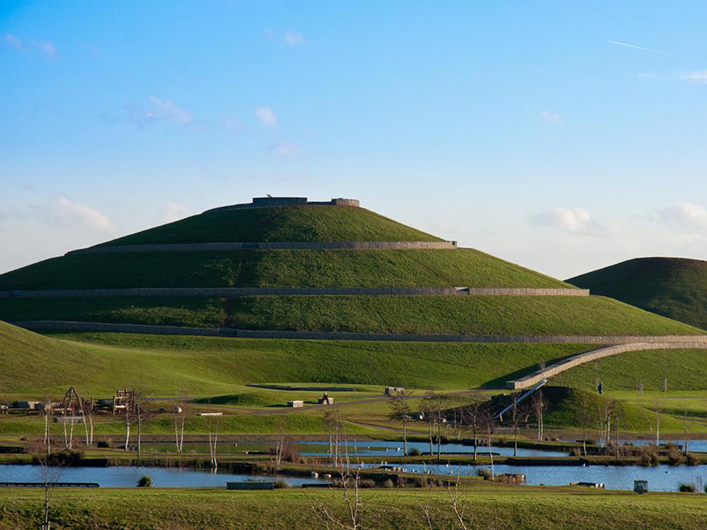
The Northala Fields regeneration project for the London Borough of Ealing saw consultant Peter Brett Associates and contractor Stantec (https://www.stantec.com/uk) contribute to the successful delivery of a complex earthworks and landscape transformation using 12d Model.

Northala Fields occupies some 18.5 ha in the Northolt area of the London Borough of Ealing (LBE) and is at the heart, both physically and strategically, of the larger development of the Northolt and Greenford Countryside Park (an area of over 100 ha). The site has long been recognised as the central component, connecting the surrounding areas, facilities and features for the community, and as such the LBE wished to develop the area using a very creative solution.

In order to achieve the vision for Northala Fields, it was proposed that the development generate its own funding, through the importation onto site of a substantial volume of select quality fill (approximately 500,000 cubic metres).

The new landform created by this importation would then enable a number of other development goals for the site to be achieved, including:
• a series of separate lakes of different depths for fishing and model sail boats
• an ecological area to the south of the site which will also form part of the Northolt Golf Club extension
• modifications to Northolt Golf Club
• improved sporting facilities (hard surface area for basketball, football wall etc)
• a children’s playground
• seats and picnic tables throughout the park in key locations
• car parking areas
• a footbridge across Kensington Road
• a grassed amphitheatre.

Consulting engineering firm Peter Brett Associates was approached to provide the necessary geo-technical and earthworks engineering information for the project. It was quickly decided that due to the size and complexity of the project, 12d Model software would be a definite advantage as it allows quick and accurate surface modelling, volume calculations and high quality output of both engineering drawings, as well as 3D public display images.

Given the extremely tight deadline for the project, without the support of 12d Solutions the project would not have been the success that it has become.
History Files: 12d Model streamlines subdivision design – Jacobs (then Sinclair Knight Merz)


The Fini Group project in Western Australia, Australia, was delivered with Sinclair Knight Merz now Jacobs as consultant and Steve Park as contractor.

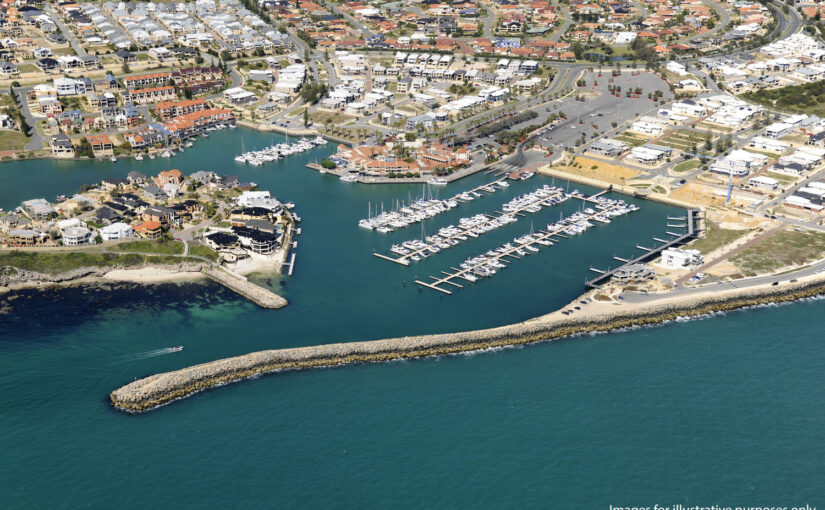
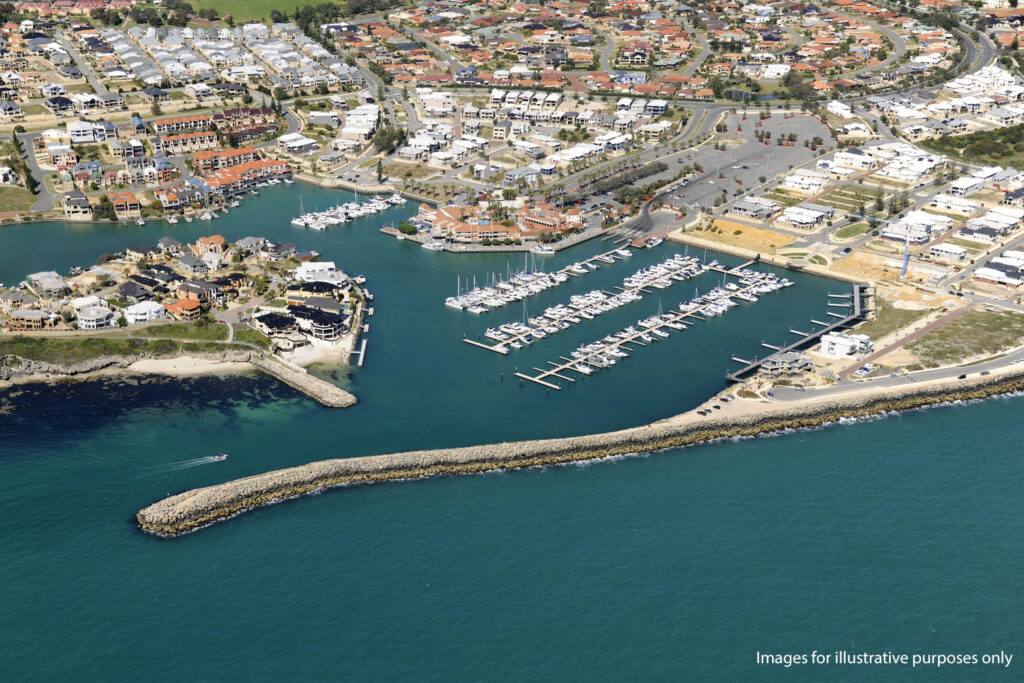
Mindarie Marina Aerial October 2013

4D Model (later renamed 12d Model) software has proven to be a “quick, powerful and effective tool” in the design disciplines required for the ongoing construction of Mindarie Keys, a major subdivision and marina development in Perth’s northern suburbs. Located about 30 minutes from Perth on the Sunset Coast, the development is an ongoing project of leading multidisciplinary engineering firm Sinclair Knight Merz (now part of Jacobs Group). The firm operates Australia-wide with offices in all capital cities and many regional centres, as well as in South East Asia, the Pacific, and Europe. The Perth office has a staff of more than 200.

The Mindarie Keys project has been underway for around 10 years and is expected to be finalised in another three to five years, with approximately 60 percent completed. The development offers some of Perth’s most attractive land, much of it overlooking the ocean and marina.

To date, the estate includes residential accommodation, a resort hotel, a marina, shopping centres, cafes and restaurants, and three primary schools. A private high school is currently under construction. Sinclair Knight Merz has been involved in the project since its inception.

The design for the subdivisions involves detailed bulk earthworks, roadworks, drainage, and services design to create attractive sites that maximise the varying terrain levels and views. According to project designer Steve Park, powerful software was needed to manage the large data sets required to optimise earthworks modelling for a project of this scale.

Initially designed for fast preliminary design of major roadworks, 4D Model is capable of handling projects in excess of 1,000,000 points, with 200,000 points already considered small to medium-sized. This capability was one of the key factors that attracted the firm to the software during its evaluation process.

“We were previously using a number of packages but with several large jobs coming up we wanted something which would handle more data intensive applications. We evaluated a number of packages then trialled 4D Model for a month. It met our needs and requirements, initially for the Mindarie Keys project, but then also for other large subdivision contracts we had,” Mr Park said.

“It is quick and very powerful for road design and intersections and we can put our drainage design into it to create the full model. We’re getting quicker and more accurate quantities and volume figures than before; it definitely makes the job easier. The fact that it handles such a large number of points makes it an excellent tool for large projects.”

“We no longer have to split large projects into sections, which made them more difficult to handle.”

According to Mr Park, 4D Model’s 3D interface simplifies planning of both surface and underground routes, helping identify conflicts with cables, pipes, and other services while improving perspective presentation.

“The interactive user-definable views allow us to work on any model very easily and provide immediate feedback at every stage of the design process. As all commands are transparent, our drafting personnel do not have to change models or open and close different parts of the program. A recalculation facility allows rapid redesign as modifications are made,” he added.

As well as producing earthworks quantities quickly using end area and exact methods, the software incorporates string and template design methods, providing flexibility across projects ranging from rural roads to multi-lane divided roads.

The software also supports:

  • Unlimited alignments
  • Special kerb return functions for intersections and roundabout design
  • Cut and fill analysis modules
  • Alignment, pipeline, and wastewater design modules
  • Custom project tasks through the 4DL programming language and extensive design function library

“Another major benefit has been the willingness of 4D’s developers to respond to our requests for particular features we may need for any jobs. There have been instances when we’ve asked for a feature and they have gone out of their way to build it in for us.”

“4D’s support and ability to respond immediately to our requests has been a significant advantage.”

Download this Case Study as a PDF HERE